


Waddesdon - Sheet SP 71
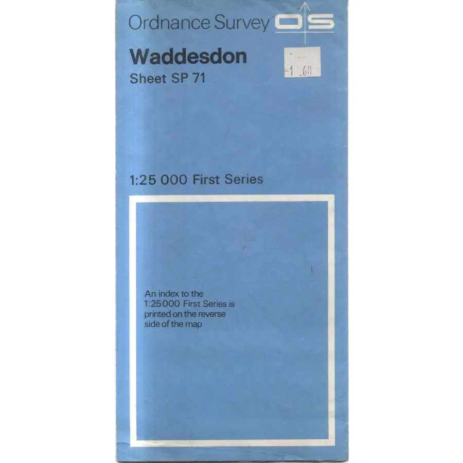
Publisher: Ordnance Survey
Format: Paperback
ISBN: none
Waddesdon – Sheet SP 71 (1955) – Ordnance Survey
Ordnance Survey | ISBN: None
Condition: Good | Sold by Crappy Old Books
Waddesdon. A charming Buckinghamshire village best known for its magnificent Rothschild mansion, picturesque surroundings and the comforting impression that rural England was designed primarily for wealthy people to admire from the windows of exceptionally large houses. But beyond the grand architecture, manicured gardens and aristocratic extravagance lies a landscape of fields, lanes, farms, footpaths and settlements whose history can be explored through that most dependable of British institutions: the Ordnance Survey map.
Welcome to Waddesdon – Sheet SP 71, a splendid little piece of cartographic history dating from 1955, when Britain was still adjusting to the post-war world, motorways were largely a distant prospect and the countryside had not yet been comprehensively reorganised around housing developments, distribution warehouses and enormous roundabouts.
There is something wonderfully reassuring about an old Ordnance Survey map. Every road, field boundary, building and watercourse has been recorded with an attention to detail that suggests the surveyors regarded overlooking a small agricultural outbuilding as a personal failure. It is geography conducted with military precision, which is hardly surprising considering the organisation’s origins.
The Waddesdon area provides particularly attractive territory for anyone fascinated by the changing English landscape. Here, the agricultural countryside of Buckinghamshire meets the legacy of wealthy landowners, historic estates and traditional village life, creating a fascinating patchwork of human activity that can be traced through the intricate lines and symbols of a carefully prepared map.
And 1955 is an especially interesting year to examine.
Britain was emerging from the austerity of the immediate post-war period, car ownership was increasing, and the great transformation of rural and suburban England was gathering momentum. Fields that had remained agricultural for generations would eventually face the ambitions of developers, planners and local authorities, all confidently explaining that the latest construction project represented a wonderful improvement.
For local historians, genealogists, landscape enthusiasts and collectors of vintage maps, such publications offer a valuable opportunity to investigate how places appeared at a particular point in time. Old roads, former buildings, property boundaries and agricultural features may reveal details no longer obvious in the modern landscape.
There is also the simple pleasure of comparing the past with the present. A quiet country lane on a 1955 map may now be a busy road, while an apparently insignificant group of buildings might have disappeared altogether. Conversely, certain landmarks remain reassuringly unchanged, stubbornly resisting the modern enthusiasm for replacing everything with something larger, uglier and more profitable.
Naturally, historical maps should not be relied upon for current navigation. The countryside has an irritating habit of changing, and a perfectly respectable footpath from seventy years ago may now lead directly into somebody’s conservatory.
This 1955 Ordnance Survey Sheet SP 71, offered in Good condition by Crappy Old Books, is an appealing addition to collections of vintage British cartography, Buckinghamshire local history and historical landscape studies.
A fascinating geographical snapshot of Waddesdon and its surroundings, preserving the detail of a rural world that has gradually evolved over the decades.
And a reminder that before satellite imagery, digital mapping and electronic navigation, somebody actually had to visit these places, measure everything and draw it all down with extraordinary precision.
Without once being told to make a U-turn when possible.
Keep browsing: See more Maps books Other books by Ordnance Survey
